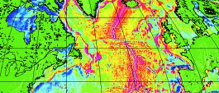
For more than a decade remote sensing has successfully been used to monitor the ocean surface and has provided valuable information about the dynamics of the worlds oceans and the marine gravity field. Even though two satellite missions carrying radar altimeters are currently in operation, sea level variability is still observed that cannot be fully explained due to insufficient coverage.
Read the entire articleSea Level Analyses using ENVISAT
01.04.2001

For more than a decade remote sensing has successfully been used to monitor the ocean surface and has provided valuable information about the dynamics of the worlds oceans and the marine gravity field. Even though two satellite missions carrying radar altimeters are currently in operation, sea level variability is still observed that cannot be fully explained due to insufficient coverage.

