DNMI, the Norwegian Meteorological Institute, participate in a larger EU-funded project, EnviWave. The overall aim of the projects is to improve the usefulness of ocean wave information derived from Envisat ASAR, Advanced Synthetic Aperture Radar, and RA-2, Radar Altimeter, within applied oceanography, ocean climatology, and meteorology.
ENVISAT will overload us with data – are we prepared to cope with it?
Its suite of ten Earth observation sensors will allow the scientific community to simultaneously map the land, oceans and atmosphere of our planet with instrumentation covering a wide range of the electromagnetic spectrum and mapping technologies.
Monitoring natural resources in West Africa using ENVISAT data
Proper management of natural resources in developing countries requires that information on the state and changes in a range of biopsyical parameters is available. In the drylands of Africa, management of scarce water and vegetation resources is of key importance.
NIVA and the ENVISAT project
The Norwegian Institute for Water Research (NIVA) participate in the geophysical validation of the products from one of the ENVISAT sensors. NIVA contributes in the validation of the MERIS sensor (Medium Resolution Imaging Spectrometer) and takes part in the MERIS and AATSR Validation Team.
Norwegian Computing Center’s ENVISAT AO projects
The Norwegian Computing Center’s Remote Sensing Group (NCC) is involved in three ENVISAT AO projects. The themes of the projects correspond to key research areas in NCC: automatic detection of marine oil spill, snow monitoring for natural resource and climate applications, and land vegetation monitoring by spectrometry.
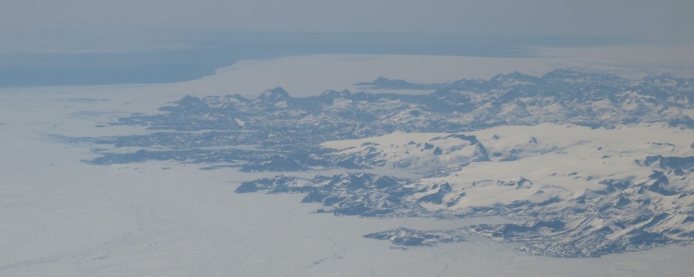
Sea Level Analyses using ENVISAT
For more than a decade remote sensing has successfully been used to monitor the ocean surface and has provided valuable information about the dynamics of the worlds oceans and the marine gravity field. Even though two satellite missions carrying radar altimeters are currently in operation, sea level variability is still observed that cannot be fully explained due to insufficient coverage.